


Amizade pier
Portos, Marinas, Docas e Pontões de Recreio
This equipment can only be accessed at high tide. The route along the Portuguese coast can be complicated by the access conditions to the river Minho at Caminha. It is necessary to approach the Seixas bank, setting a course from Lanhelas at coordinates 41°54'50.56"N 8°47'28.64"W and sailing along the channel between the islands of Amores and Boega, due to the lack of water on the Spanish bank in the Eiras beach area.
On all stretches of the river Minho it's a good idea to be constantly be on the alert for possible unidentified floating objects, especially tree trunks, which are usually swept into the river after periods of heavy rain.
Recommended access coordinates to reach the Vila Nova de Cerveira leisure dock:
Point 1: Tongue of sand, Moledo 41°52'18.78"N 8°51'51.55"W
Point 2: Bajo Oliveiras 41°52'49.64"N 8°51'3.02"W
Point 3: Paxase 41°53'22.32"N 8°50'49.34"W
Point 4: Seixas 41°54'4.18"N 8°48'56.41"W
Point 5: Seixas 2 41°54'9.20"N 8°48'48.45"W
Point 6: Seixas 3 41°54'8.83"N 41°54'8.83"N
Point 7: Lanhelas 41°54'50.56"N 8°47'28.64"W
Point 8: Lanhelas2 41°54'57.50"N 8°47'15.10"W
Point 9: Ilha dos Amores 41°55'18.26"N 8°46'24.86"W
Point 10: Ilha da Boega 41°55'33.86"N 8°45'28.85"W
Point 11: Boega 2 41°55'52.74"N 8°45'14.61"W
Point 12: Cerveira 41°56'24.33"N 8°44'59.01"W
Point 13: Amizade Pier Vila Nova de Cerveira 41°56'28.06 "N 8°44'46.57"O
Câmara Municipal de Vila Nova de Cerveira
Praça do Município
4920-284 Vila Nova de Cerveira
Tlf.: +351 251 794 632
Email: geral@cm-vncerveira.pt
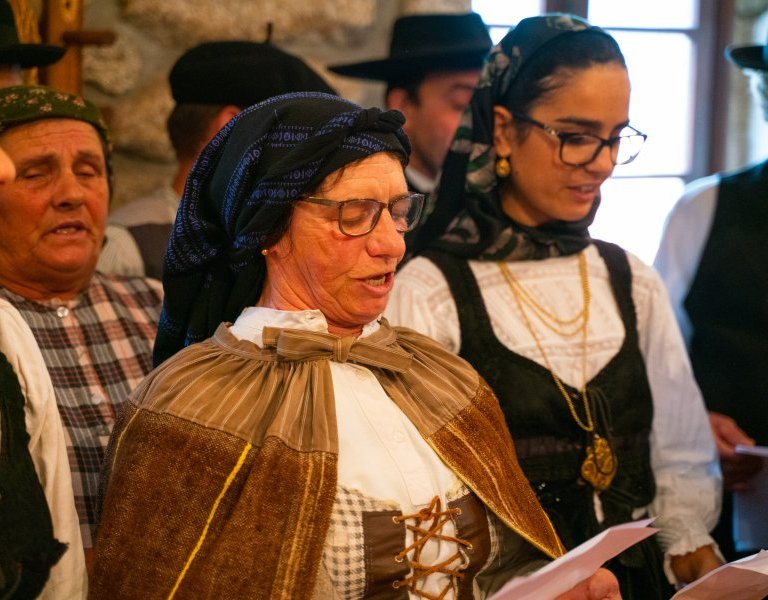
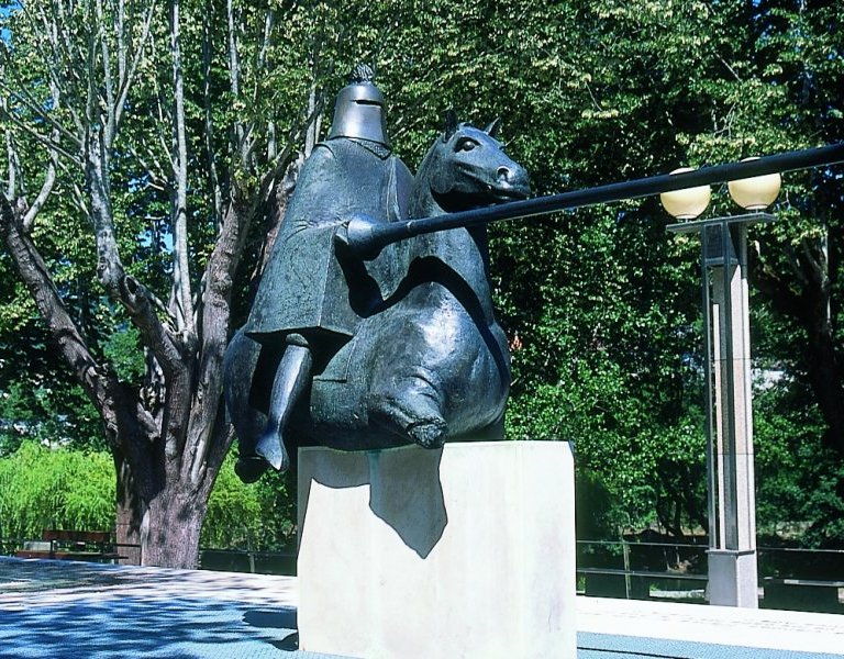
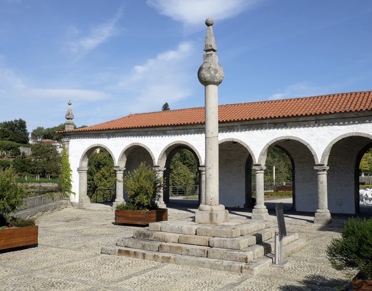
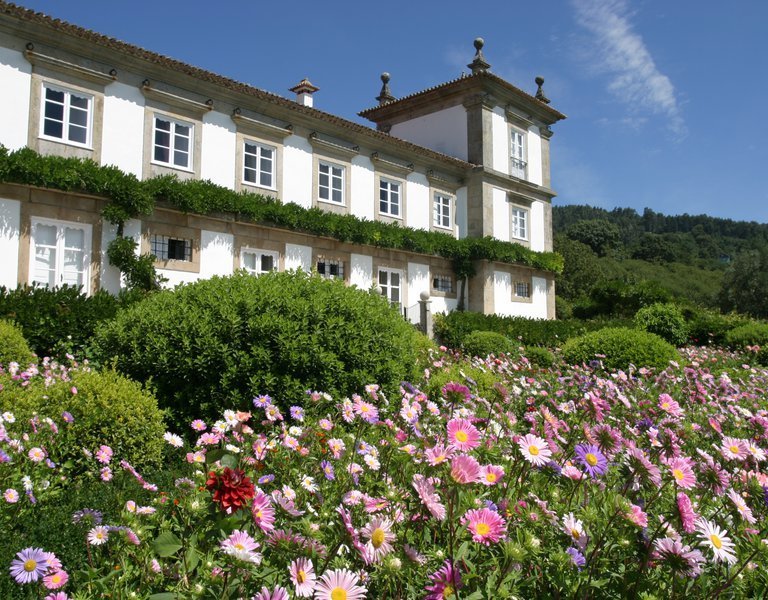
Vila Nova de Cerveira ( Viana do Castelo )
41.944766,-8.745178 (Ver mapa)