

Leisure Port of Castelo do Neiva
Portos, Marinas, Docas e Pontões de Recreio
Departing from the centre of the mouth of the river Lima, through the red of the breakwater with course 206 and after sailing 2.7 M, we will be to the west of the "Baixo da Eira," separated from the breakwater by 1.7 Mile. It is unquestionable that with southwest-northwest winds and seas, we sure sail further away from the coastline. These winds bring fronts that push us closer to the coast, where the increase in wave height and breakers in some of these shallows is approximately near the 20 meters of depth (sonar measurement).
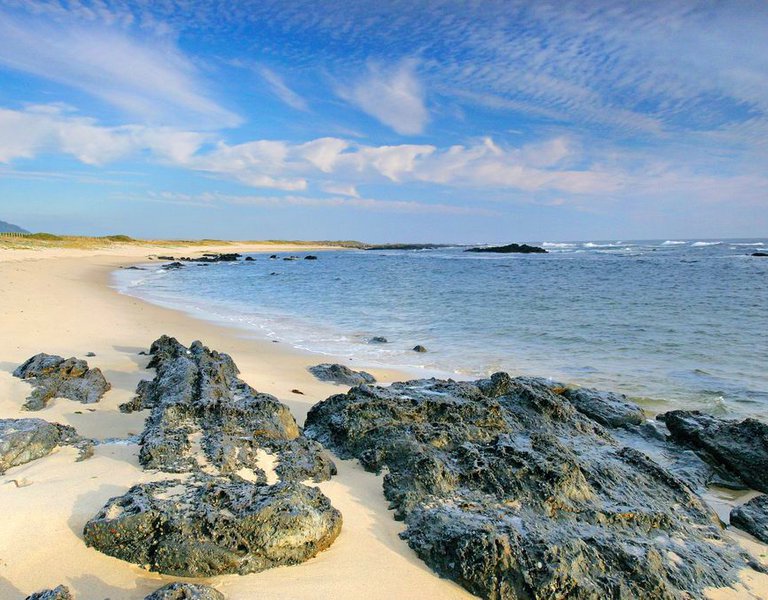
The coastal strip and its waters are a protected space with the distinction of Parque Natural do Litoral Norte (North Coastal Natural Park), an area of 1,237 hectares from the mouth of Neiva river to the Apúlia beach, including the mouth of Cávado river, a stretch that extends by sea along a strip of 2.5 miles. A combined terrestrial and marine park with a diverse biodiversity made up of beaches, dune systems, coastal rocks, the estuaries of the rivers Cávado and Neiva, pine and indigenous forests, and rural landscapes based on traditional agriculture, complemented by the sargassum (harvesting, the seaweed used as fertilizer), and the catching of small crustaceans (agro-maritime activities).
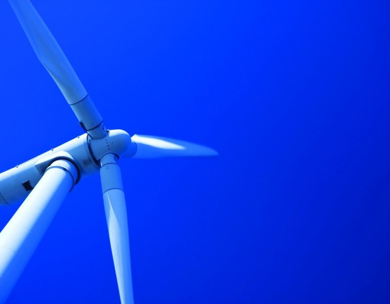
The protection of the dune system is one of the central objectives of this park, which tries containing the tourist pressure that has been causing an increase in coastal erosion. Therefore, the dune flora plays a fundamental role in the fixation of the sands, with species such as milk thistle, European Marram Grass, and Otanthus maritimus. Additionally, different migratory and permanent species can be observed here, such as the grey heron, the mallard, and the kingfisher, and among the more abundant fish are the lamprey, European eel, sea bass, and tench. One of the most iconic elements of this protected landscape is the characteristic windmill.
Scattered throughout the Apúlia sandy area, these windmills are simple but well-preserved constructions that blend harmoniously into the scenery.
The sea surrounding the small dock of Neiva is very rocky, conditioned by the Baixo da Eira. The traditional fishing fleet does not anchor since it is dragged ashore. Therefore, it is advisable to visit the resource by land to avoid anchorage unless lead by a local professional and during optimal weather conditions.
To access by road, head to the roundabout on the National Road N13 as it passes through Castelo de Neiva at coordinates 41°37'25.5 "N 8°47'47.7 "W and take Avenida da Praia until reaching Neiva beach.
Capitania do Porto de Viana do Castelo
Largo Mestre César 4900-325 Viana do Castelo
Tlf.: Secretaria civil: +351 258 070 553 / +351 258 070 556
Secretaria Militar: +351 258 070 552
Email:capitania.vcastelo@amn.pt
Web: http://www.cm-viana-castelo.pt/
https://www.amn.pt/DGAM/Capitanias/VianaCastelo/Paginas/capitania-do-porto-de-viana-do-castelo.aspx
Viana do Castelo ( Viana do Castelo )
41.628774,-8.819036 (Ver mapa)